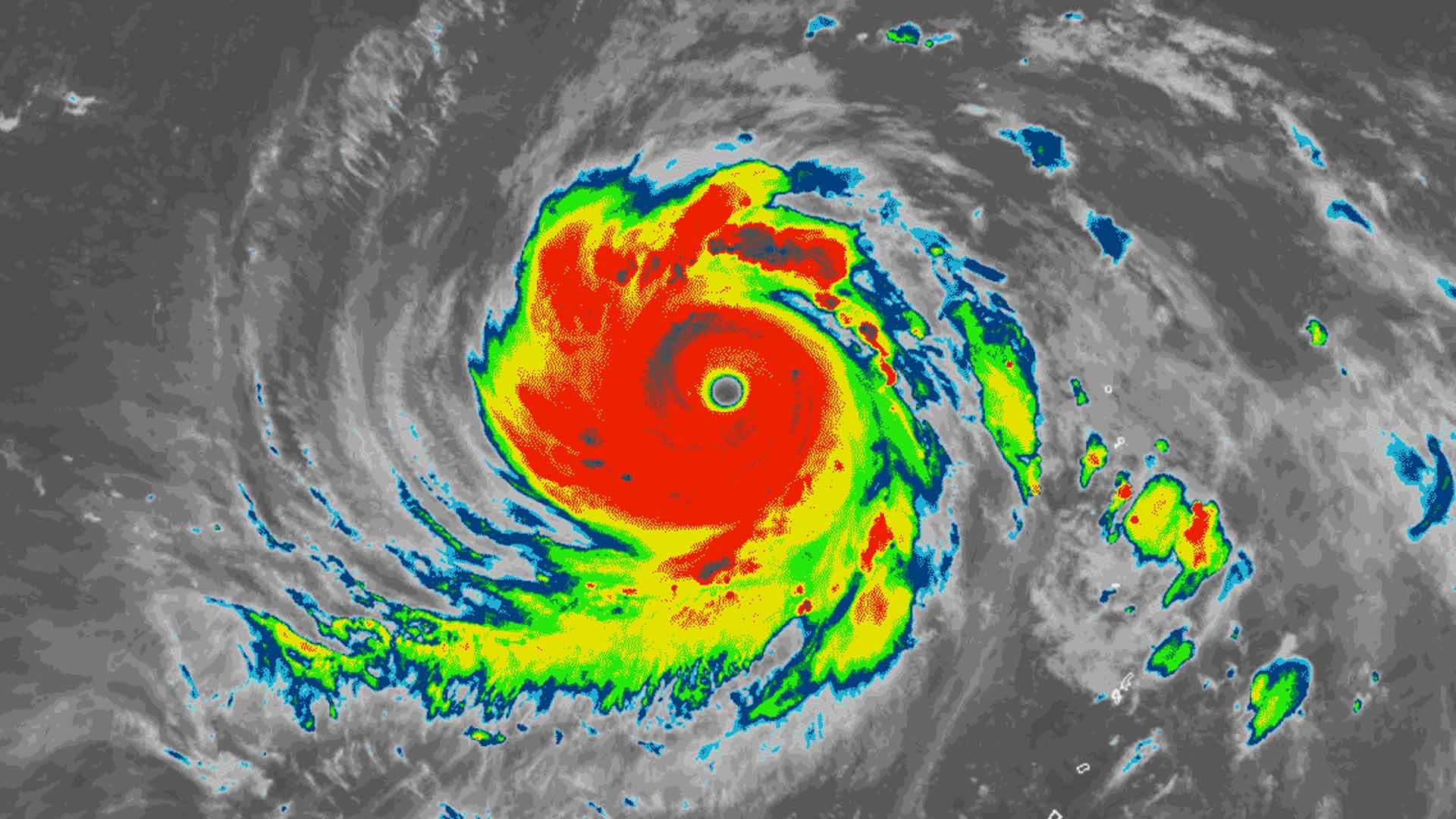
Signal No. 1 has been raised in several areas in Luzon and Visayas which lie on the path of Typhoon Tisoy (international name Kammuri) after entering the Philippine Area of Responsibility (PAR), according to the Philippine Atmospheric, Geophysical and Astronomical Services Administration (PAGASA).
In its 5 a.m. severe weather bulletin, the weather bureau said 11 areas are now under Tropical Cyclone Wind Signal (TCWS) No. 1 which includes Catanduanes, Albay, Sorsogon, Samar, Northern Samar, Eastern Samar, Biliran, Camarines Sur, Masbate including Burias and Ticao islands, Camotes Island and Leyte.
PAGASA expects rains with gusty winds over the Bicol Region and Eastern Visayas that may trigger possible flash floods or landslides due to scattered light to moderate to at times heavy rains.
Caraga Region, Northern Mindanao, and the rest of Visayas will experience cloudy skies with scattered rain showers and thunderstorm caused by the typhoon.
Typhoon Tisoy was last seen 885 km east of Virac, Catanduanes, with maximum sustained winds of 150 kph near the center and gustiness of up to 185 kph. It is moving west at a speed of 15 kph and expected to make landfall over the Bicol Region between Sunday evening and Tuesday early morning.
Residents of the affected areas especially those that are prone to flooding and landslides are advised to make the necessary preparations and monitor weather updates for the latest information about the storm.
Meanwhile, Metro Manila and the rest of Luzon will experience partly cloudy to cloudy skies with isolated rains due to the northeast monsoon, while partly cloudy to cloudy skies with isolated rain showers are expected in Palawan and the rest of Mindanao caused by localized thunderstorms.
Sea travel is risky, especially for small sea crafts, over the seaboards of areas under TCWS, the northern and western seaboards of Northern Luzon and the eastern seaboards of the country due to prevailing or forecast rough sea conditions. (PNA)


