



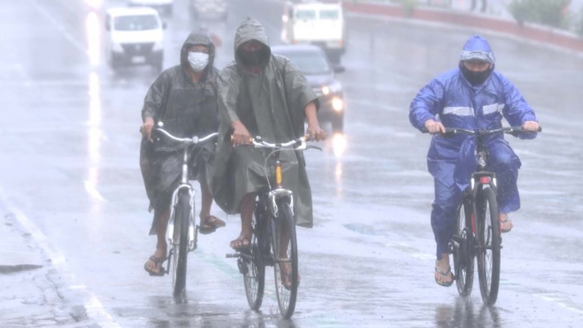






Severe Tropical Storm Jolina continues to bring rains across Luzon and is about to make landfall over the Lobo – San Juan area in Batangas.
In its 8 a.m. severe weather bulletin on Wednesday, the Philippine Atmospheric, Geophysical and Astronomical Services Administration (PAGASA) said “Jolina” was last seen over the coastal waters of San Juan, Batangas, packing maximum sustained winds of 95 kph near the center and gustiness of up to 115 kph.
“Jolina” first made a landfall in Hernani, Eastern Samar at about 10 p.m. on Monday. It hit land again in Daram, Santo Niño, Almagro, all in Samar early Tuesday and in Masbate on Tuesday afternoon.
Heavy to intense, with at times torrential rains will be experienced over Metro Manila, Bataan, Romblon, Marinduque, Cavite, Laguna, Batangas, Rizal, Quezon, Camarines Norte, Occidental Mindoro, and Oriental Mindoro.
Likewise, moderate to heavy, with at times intense rains are also likely over Aurora, Bulacan, Nueva Ecija, Pampanga, Tarlac, Zambales, Camarines Sur, the northern portion of Palawan including the Calamian and Cuyo Islands, Aklan, Antique, Capiz, Iloilo, Guimaras, and Negros Occidental.
PAGASA said scattered to widespread flooding, and rain-induced landslides are highly likely, especially in areas susceptible to these hazards.
Tropical Cyclone Wind Signal (TCWS) No. 2 has been hoisted over Marinduque, the northern and central portions of Oriental Mindoro (Bansud, Gloria, Pinamalayan, Pola, Socorro, Victoria, Puerto Galera, San Teodoro, Baco, City of Calapan, Naujan), the northern and central portions of Occidental Mindoro (Abra de Ilog, Paluan, Mamburao, Santa Cruz, Sablayan) including Lubang Islands, the central and southern portions of Quezon (General Luna, Macalelon, Sampaloc, Unisan, Pagbilao, Sariaya, Alabat, Pitogo, City of Tayabas, Padre Burgos, Lucban, Gumaca, Agdangan, Plaridel, San Antonio, Candelaria, Atimonan, Quezon, Tiaong, Mauban, Perez, Lucena City, Dolores, Real, Infanta), Batangas, Cavite, Laguna, Rizal, Metro Manila, the southern portion of Bulacan (Pandi, Bulacan, Marilao, Calumpit, Norzagaray, Plaridel, Santa Maria, Balagtas, Bocaue, Bustos, City of Malolos, Angat, Obando, City of San Jose del Monte, Pulilan, City of Meycauayan, Hagonoy, Paombong, Guiguinto, San Rafael, Baliuag), Pampanga, Bataan, Zambales, and Tarlac.
These areas will experience damaging gale-force to storm-force winds.
On the other hand, TCWS No. 1 has been hoisted over La Union, the southern portion of Benguet (Sablan, Tublay, Bokod, La Trinidad, Baguio City, Itogon, Tuba, Kapangan, Atok), the southern portion of Nueva Vizcaya (Alfonso Castaneda, Dupax del Norte, Dupax del Sur, Aritao, Santa Fe, Kayapa), the southern portion of Aurora (Baler, Maria Aurora, San Luis, Dingalan), Pangasinan, Nueva Ecija, the rest of Bulacan, the rest of Quezon including Polillo Islands, Camarines Norte, the western portion of Camarines Sur (Ragay, Del Gallego, Lupi, Sipocot, Cabusao, Libmanan, Pasacao, Pamplona), the western portion of Romblon (Odiongan, Romblon, Banton, Santa Maria, Concepcion, San Andres, San Jose, Looc, Ferrol, Alcantara, San Agustin, Calatrava, Corcuera, Santa Fe), the rest of Oriental Mindoro, and the rest of Occidental Mindoro.
“Jolina” will cause rough to very rough seas over the seaboards of areas under TCWS No. 2. Sea travel is risky for all types of seacraft over these waters.
Moderate to rough seas will prevail over the seaboards of areas under TCWS No. 1, and the remaining seaboards of southern Luzon and the Visayas.
Meanwhile, PAGASA said Typhoon Kiko is undergoing “a period of rapid intensification.”
However, heavy rains associated with the typhoon may begin affecting extreme northern Luzon on Friday.
No TCWS is currently in effect due to “Kiko”, which was last tracked 1,175 km. east of central Luzon, packing maximum sustained winds of 150 kph near the center and gustiness of up to 185 kph. (PNA)